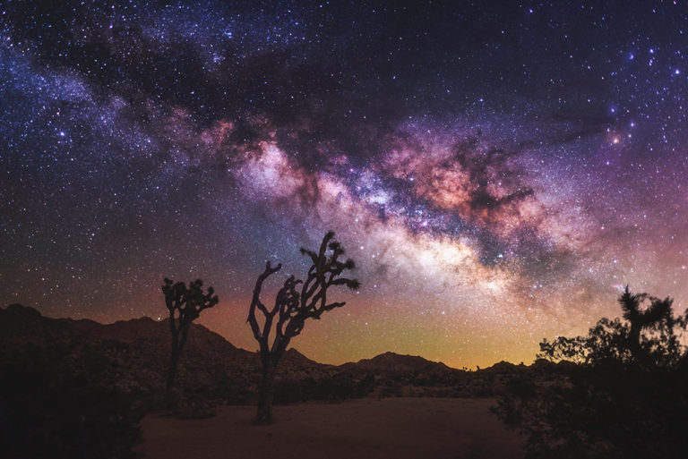
Photo Credit:
Gary Cummins | IG: @garycphoto | Original Post: June 1, 2020
At a Glance:
| Location: | Joshua Tree National Park California, USA |
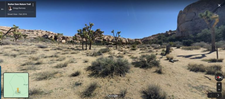
| Trail or Landmark Name / Map: | Unknown, but similar views can be found on the Barker Dam Nature Trail, so the information on this page will be for a photo spot on this trail |
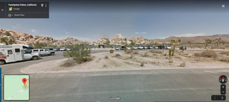
| Parking Coordinates: | 34.0248234,-116.1418074 (lot) |
| Photo Coordinates: | Unknown, but similar views can be found near 34.0270794,-116.145798 |
| Distance: | Full Trail: 1.3 miles, Loop Photo Location: .5 miles, Out-and-Back |
| Time to Complete: | Full Trail: 30 minutes Photo Location: 15 minutes |
| Difficulty: | Easy |
| Elevation Gain: | 62 ft |
| Quick Facts: | ✔ Entrance Fee: $30 / car ✔ Kid Friendly ✔ Restrooms Available ✖ Wheelchair Accessible ✖ Dog Friendly ✖ Bike Friendly |
Description:
The photographer posted this photo on June 1, 2020, though notes that he actually took the photo in April 2018, around 2:00 AM. He is unsure of the exact photo location, but views like this can be found all around Joshua Tree National Park while driving around. The photo coordinates given above are located on the Barker Dam Nature Trail.
Google Map to “Barker Dam Nature Trail” and you’ll find a parking lot at the coordinates above. This is an easy 1.3 mile loop trail. When the trail splits into the loop portion, take the left fork (clockwise). Walk a little ways down that path and you’ll find multiple views of joshua trees similar to the photo above.
Helpful Links:
Trail Map
Trail Reviews on AllTrails.com
Joshua Tree National Park Website
Additional Images: