Photo Credit:
Jayne Reynolds | IG: @jayneivana | Original Post: June 15, 2020

At a Glance:
| Location: | North Beach, Deception Pass State Park 41229 State Route 20 Oak Harbor, WA 98277 |
| Trail or Landmark Name / Map: | Deception Pass Bridge and Beach Trail |
| Parking Coordinates: | 48.4046843,-122.6467148 (lot) |
| Photo Coordinates: | 48.4043729,-122.6467203 |
| Distance: | .5 miles round trip, Out-and-Back |
| Time to Complete: | 40 minutes |
| Difficulty: | Easy |
| Elevation Gain: | 377 ft / 115 m |
| Quick Facts: | ✔ Entrance Fee: $10 / car ✔ Dog Friendly ✔ Kid Friendly ✔ Restrooms Available ✖ Bike Friendly ✖ Wheelchair Accessible |
Description:
The photographer took this photo on June 15, 2020 from the shore of Mac’s Cove looking towards Fidalgo Island and the Deception Pass Bridge. This area can get quite crowded, but was secluded at the time the photo was taken, around 6:00 PM on a Monday evening.
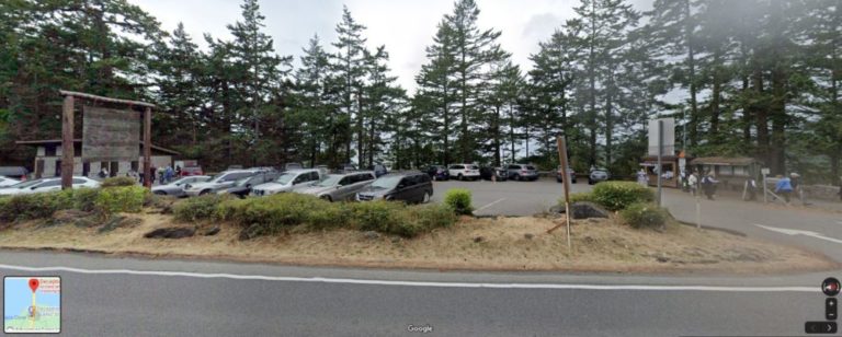
The Deception Pass Bridge and Beach Trail is a must-see when passing through Washington. Google Map to “Deception Pass Bridge”. The parking lot will be just off the south side of the bridge. Be sure to arrive early or wait until later, as parking fills up quickly here. There are a few places to park along the road if the parking lot is full, or you can check out the Deception Pass parking lot closer to the beach if you don’t want to start at the top of the bridge.
Walk along the bridge via a narrow pedestrian sidewalk for a view of the entire Pass, then take the .25 mile round trip trail down to Mac’s Cove for a stunning view of the beach, bridge, and islands.
The trail down towards the cove is a bit steep but heavily trafficked. It is narrow at times but easy enough for both dogs and kids. When the tide comes in, the rocky trail along the beach is covered in some areas so be sure to wear appropriate shoes and clothing.
Helpful Links:
Trail Map
Trail Reviews on AllTrails.com
Deception Pass Tide Chart
Additional Images:


