Photo Credit:
Lawrence Valverde | IG: @spikesphotolog | Original Post: July 2, 2020

At a Glance:
| Location: | Garretson, South Dakota, USA |
| Trail or Landmark Name / Map: | Devil’s Gulch |
| Parking Coordinates: | 43.7228959,-96.4961273 (lot) |
| Photo Coordinates: | 43.7230496,-96.4962901 |
| Distance: | 1 mile round trip, Out-and-Back |
| Time to Complete: | 30 minutes |
| Difficulty: | Easy |
| Elevation Gain: | 29 ft |
| Quick Facts: | ✔ Free ✔ Kid Friendly ✔ Dog Friendly (leashed) ✖ Bike Friendly ✖ Restrooms Available ✖ Wheelchair Accessible |
Description:
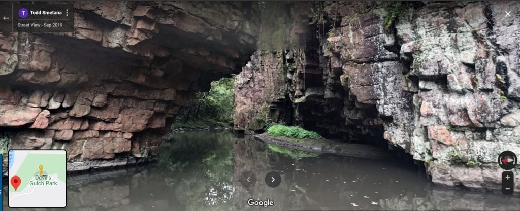
The photographer posted this photo on July 2, 2020.
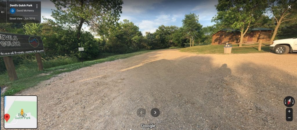
Devil’s Gulch is a fun, easy, historical trail near the border of South Dakota and Minnesota. Google Map to “Devil’s Gulch Park,” which will lead you straight to its parking lot. The trail is 1 mile round trip, but the location of the photo above is just downhill from the parking lot. Beware of some slippery rocks.
Helpful Links:
Additional Images:


