Photo Credit:
Jayne Reynolds | IG: @jayneivana | Original Post: November 29, 2020

At a Glance:
| Location: | Cascade Locks, OR, 97014 |
| Trail or Landmark Name / Map: | Multnomah Falls |
| Parking Coordinates: | 45.577833, -122.117472 |
| Photo Coordinates: | 45.5771018,-122.1164951 |
| Distance: | n/a, just a few steps from parking lot |
| Time to Complete: | 30 minutes |
| Difficulty: | Easy |
| Elevation Gain: | n/a |
| Quick Facts: | ✔ Free ✔ Restrooms Available ✔ Kid Friendly ✔ Dog Friendly (leashed) ✔ Wheelchair Accessible ✖ Bike Friendly |
Description:
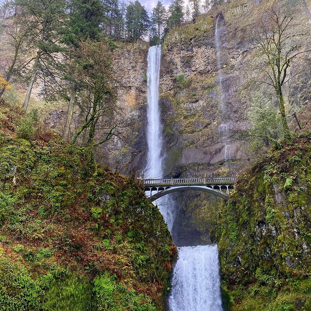
The photographer took this photo on November 29, 2020.
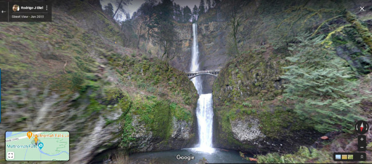
While it is by no means a “hidden” gem, Multnomah Falls is a must-see destination for anyone visiting Portland or the Columbia River Gorge area. The 620-ft.-tall double waterfall is an astounding sight. The falls consist of an upper falls and a lower falls, and visitors can view both from either a lower wheelchair-accessible deck or an upper bridge that spans the space between the upper and lower falls.
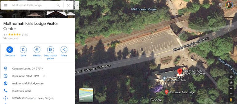
Google Map to “Multnomah Falls“, which will take you to the parking lot on the Historic Columbia River Highway. A very short walkway will take you to the lower falls deck, and you have the option to walk up to the upper falls bridge as well. Concessions, a gift shop, a lodge, restrooms and a Visitor’s Center are all available in the falls area.
There are many other waterfalls in close proximity to Multnomah Falls, so be sure to check out the rest of the Columbia River Gorge spots while you’re there!
NOTE: At the time that this article was written (November 30, 2020), the main parking lot was closed and the upper bridge was closed due to COVID restrictions. The only parking lot available is currently at the Multnomah Falls Recreation Area on I-84 at Exit 31 (from both directions). The parking lot leads to a walkway that goes under the highway and into the Multnomah Falls area.
Helpful Links:
Additional Images:


