Photo Credit:
Orrin Hancock | IG: @orrinhancock | Original Post: October 2, 2015

At a Glance:
| Location: | Columbia River Gorge Bridal Veil, Oregon, USA |
| Trail or Landmark Name / Map: | Oneonta Gorge NOTE: Closed indefinitely after the Eagle Creek Fire of 2017 |
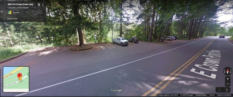
| Parking Coordinates: | 45.589346,-122.0768333 (street shoulder) |
| Photo Coordinates: | 45.5859252,-122.072875 |
| Distance: | Full Trail: 4.9 miles round trip, Out-and-Back Photo Location: 1 mile round trip, Out-and-Back |
| Time to Complete: | Full Trail: 2 – 3 hours Photo Location: 30 minutes |
| Difficulty: | Moderate |
| Elevation Gain: | 1,633 ft |
| Quick Facts: | ✔ Free ✔ Kid Friendly ✖ Dog Friendly (permitted, but dangerous for dogs to traverse the log jam) ✖ Bike Friendly ✖ Restrooms Available ✖ Wheelchair Accessible |
Description:
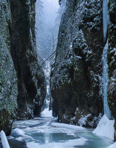
The photographer posted this photo on October 2, 2015. It was taken around 7:00 AM, before the crowds arrived.
NOTE: This trail has been closed indefinitely after the Eagle Creek Fire of 2017. Check this page for updates.
The parking area is located just off the Historic Columbia River Highway, at the coordinates above.
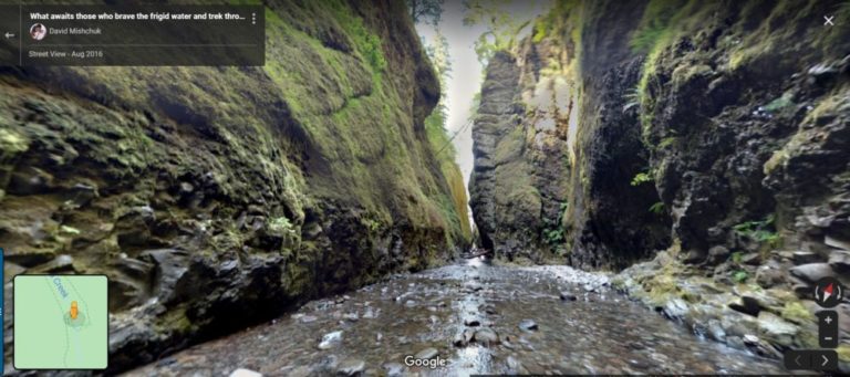
This is a short and fairly easy hike (once you scramble over the 20-foot log jam). It only takes about 10 minutes to reach the Lower Falls, from where this photo was taken. Note that you will need to get in the frigid cold water, which gets about waist deep, in order to snap this exact photo.
The full hike will take you up to Triple Falls and back.
Helpful Links:
Trail Map
Trail Reviews on AllTrails.com
Additional Images:


