Photo Credit:
Kristin Buechel | IG: @kristin_stagram | Original Post: December 14, 2020

At a Glance:
| Location: | 2847 Hanging Rock Park Road Danbury, NC 27016 |
| Trail or Landmark Name / Map: | Wolf Rock Loop Trail |
| Parking Coordinates: | 36.391065, -80.266862 |
| Photo Coordinates: | 36.3842564,-80.270388 |
| Distance: | Full Trail: 3.1 miles, Loop Photo Location: 1.6 miles round trip, Out-and-Back |
| Time to Complete: | Full Trail: 1-2 hours Photo Location: 1 hour |
| Difficulty: | Moderate |
| Elevation Gain: | 505 ft |
| Quick Facts: | ✔ Free ✔ Restrooms Available ✔ Kid Friendly ✔ Dog Friendly (leashed) ✖ Wheelchair Accessible ✖ Bike Friendly |
Description:
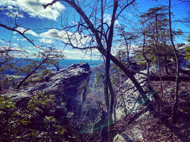
The photographer took this photo on December 14, 2020.
Wolf Rock Loop Trail is a fairly short, easy-to-moderate hike located within Hanging Rock State Park in Danbury, NC. Google Map to the boathouse at 2847 Hanging Rock Park Road, Danbury, NC 27016 where you will find a large, free parking lot. The parking lot can get full during the busy summer months, so arrive early.
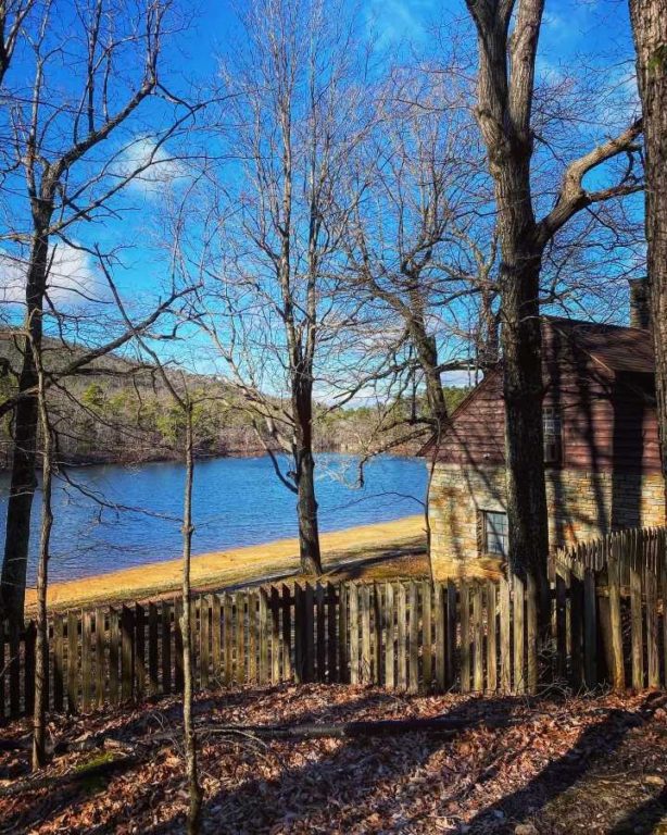
From the parking lot, walk down towards the lake where you will see a the lake bathhouse pictured below. Wolf Rock trail begins here, to your left if you’re facing the lake. For the first .6 miles, Wolf Trail (blue triangle blazes) is shared with Cook’s Wall Trail (white square blazes). Follow the blue triangles. The trail is very well marked but a little steep in parts.
After .6 miles, you will see a clear sign that veers left for Wolf Rock and right for Cook’s Wall. Go left for .2 miles until you reach a large outcropping of rocks. Just past the shale rock formation (pictured below) you’ll see Wolf Rock protruding over a beautiful overlook. You can turn around and go back the way you came, or continue onward to complete the full 3.1 mile loop.
Helpful Links:
Hanging Rock State Park Official Website
Reviews on AllTrails.com
Additional Images:


