Photo Credit:
Michael Thomas | IG: Unknown | Original Post: September 24, 2015
At a Glance:
| Location: | Whitaker Point Trail Co Rd 5 Kingston, AR, 72742, USA |
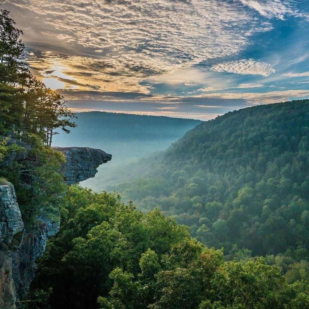
| Trail or Landmark Name / Map: | Hawksbill Crag |
| Parking Coordinates: | 35.898477, -93.457874 (street shoulder) |
| Photo Coordinates: | 35.8910033,-93.4409333 |
| Distance: | 2.9 miles round trip, Out-and-Back |
| Time to Complete: | 1-2 hours |
| Difficulty: | Moderate |
| Elevation Gain: | 413 ft |
| Quick Facts: | ✔ Free ✔ Kid Friendly (but be careful near the cliffs) ✔ Dog Friendly (leashed) ✖ Bike Friendly ✖ Restrooms Available ✖ Wheelchair Accessible |
Description:
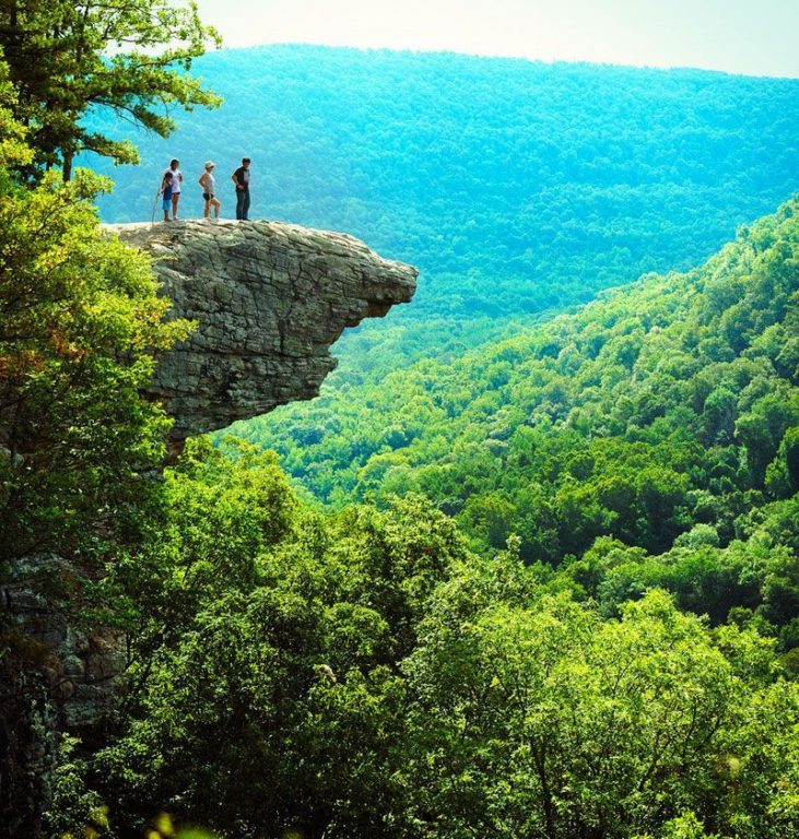
The photographer took this photo at sunrise on September 24, 2015, after hiking about an hour with a flashlight. Hawksbill Crag is a popular engagement spot, so the trail can get crowded.
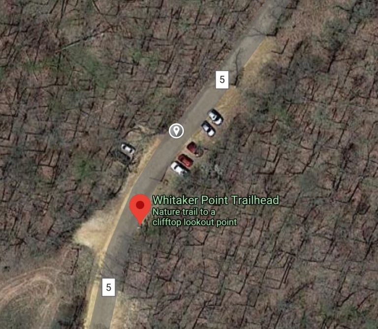
Google Map to “Whitaker Point Trailhead.” Just before you cross the Buffalo River bridge, you’ll see a gravel road on your right marked “Co. Rd 9560.” Turn here to begin the ascent up to the trailhead. Park in the street shoulder area at the parking coordinates above.
Note: A 4×4 or high-clearance vehicle is highly recommended for the steep, curvy, bumpy 6-mile road up to the trailhead. It’s possible in a regular car if it hasn’t rained recently, but much more dangerous. Use discretion.
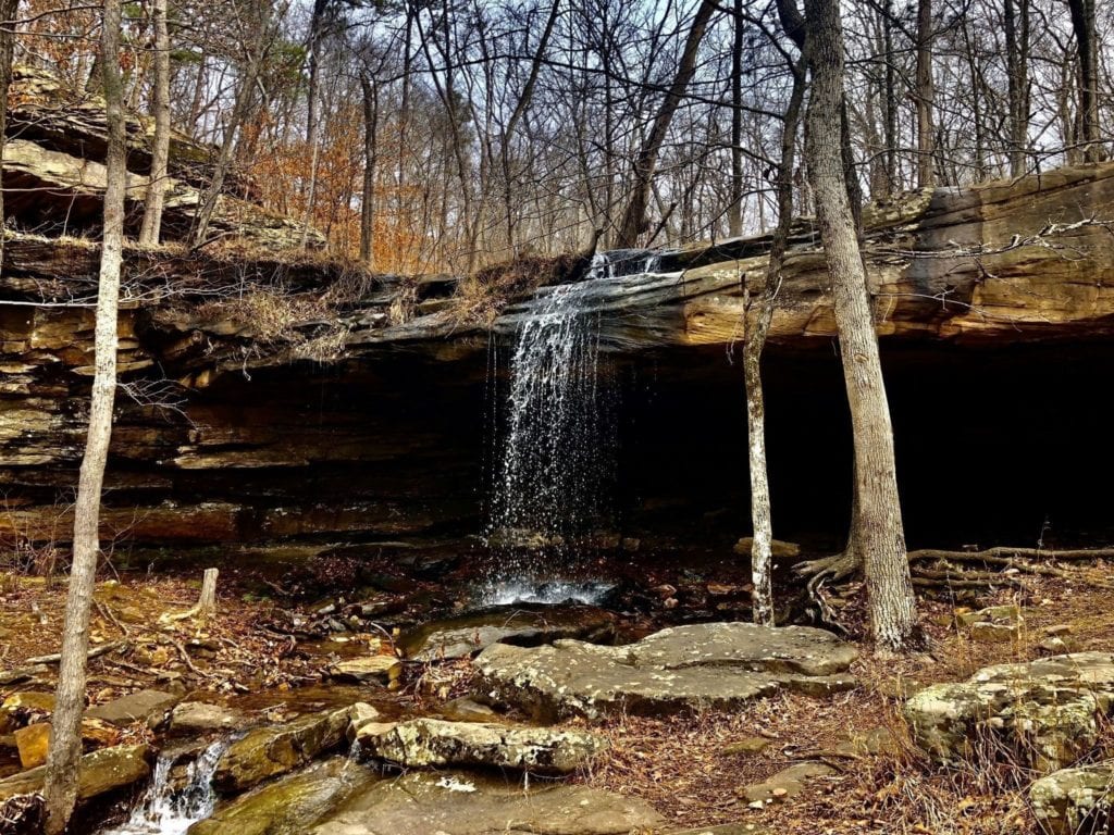
Just southeast of the parking area you’ll find the trailhead near a large rock (see screenshot of Parking Area + Trailhead below). The hike to Hawksbill Crag is fairly easy, 1.5 miles there and 1.5 miles back. Just watch your footing in some rocky areas. There are shorter trails that offshoot the main trail along the way, allowing you to explore a small waterfall and cave area if you choose.
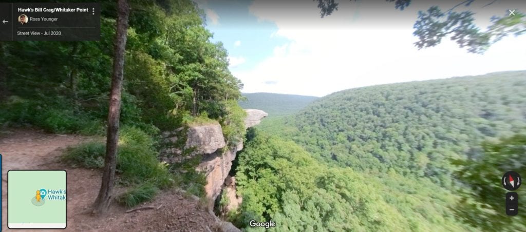
A couple hundred feet before you reach the actual Hawksbill Crag rock, you’ll see a flat rocky area to your right that will give you the view above. This is the point from where most people take pictures of their hiking partners, as their partners go up ahead to the rock. Most people are courteous about giving people time to take photos at the rock without intruding in their pictures.
The return hike is a little more strenuous, as the second half is uphill. Most people complete the hike, including photo time at the rock, in about 90 minutes.
Helpful Links:
Additional Images: