Photo Credit:
Tyler Godès| IG: @godes_tyler | Original Post: September 23, 2018
At a Glance:
| Location: | Behind Hollow Rock Resort Grand Portage, Minnesota, 55605, USA |
| Trail or Landmark Name / Map: | Hollow Rock |
| Parking Coordinates: | 47.9178513,-89.7382413 (lot) |
| Photo Coordinates: | 47.917122,-89.7363014 |
| Distance: | n/a, just park and walk a few hundred feet |
| Time to Complete: | 15 minutes |
| Difficulty: | Easy |
| Elevation Gain: | n/a |
| Quick Facts: | ✔ Free ✔ Kid Friendly ✔ Dog Friendly ✔ Bike Friendly ✔ Restrooms Available ✖ Wheelchair Accessible (could get close, but may be tough to get around on the rocky beach) |
Description:
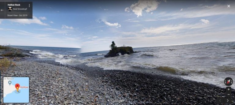
The photographer, Tyler Godès, posted this photo on September 23, 2018. It was taken at sunrise. Fun fact: Twice a year, for about a week in November and a week in January, the sun shines right through the tunnel of Hollow Rock. An app like The Photographer’s Ephemeris can help you map the angles just right, if you are looking to get a photo of that phenomenon.
To reach this location, take MN-61 and turn east on Co. Rd. 89 (dirt road). Drive to the end and park as close as you can to the shore of Lake Superior. You’ll run into Hollow Rock Resort which is just a few cabins on the coast of Lake Superior (7422 MN-61, Grand Portage, MN 55605, if you’d like to map to the resort). Walk out to the shore and look for Hollow Rock at the coordinates above. It should be fairly obvious.
Additional Images:

